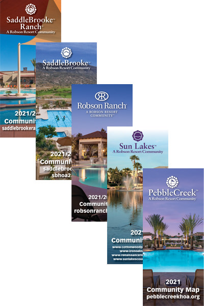
Robson Publishing has added a new product to complement their widely-read monthly community newspaper and annual Source Book telephone directories – a large-scale community map.
Published annually and delivered with the community Source Book telephone directory, the community map contains a wealth of information for residents and visitors alike. On one side of the map, the entire layout of the community is shown with a street diagram, walking trails, clubhouse locations, golf course layout, creative art centers, private and public manned entrance gates, fire stations, and commercial centers if applicable.
On the other side of the community map is an extensive city/county metropolitan area map, featuring the existing freeway/expressway system along with routes that are currently under construction and in long range future planning. The light rail system is highlighted along with major commercial airports and various lakes and mountain preserves that surround the area. The map measures 36” x 28” when folded, utilizing a proper map fold, and measures 4” x 9”, thus allowing users to store in their car glove box or golf car.
Our community map has been received with rave reviews by all of its users, and limited advertising opportunities are available on the side of the map featuring the city/county metropolitan area. Contact your advertising sales rep for more information on how to reserve your space and which communities for the affluent 55 and over have community maps.
